Two regional rain risks
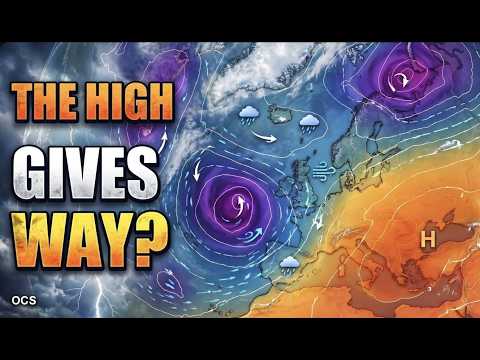
Mara Quinn’s outlook follows separate systems that bring a heavy-rain risk to parts of southwest Iberia and the Ionian Islands. Each system has its own track and timing. The regional sections put those risks in context before the episode turns to the wider European outlook.
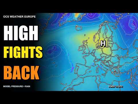
The main maps use NOAA/NCEP GFS initialised at 06:00 UTC on 8 November. The pressure comparison pairs charts that apply to the same forecast times, even though the ensemble runs began at different hours.
Read the pressure bars
The programme uses 30 perturbed GEFS members from 8 November at 06:00 UTC and 50 perturbed ECMWF ENS members from 8 November at 00:00 UTC. The bars run from the 10th to the 90th percentile of sampled pressure. The calculation keeps both control forecasts separate.
The description reports wider bars later in the outlook, especially near London. A wider bar means the middle of the pressure forecasts spans a larger range. For the chance of heavy rain in a particular area, look at precipitation guidance with a stated threshold and time window. National services give the latest warning areas and times.
Sources & further reading
Independent background for the ideas explored on this page.
- OCS Weather Europe — Official episode, forecast scope and ensemble method
- NOAA/NCEP — Global Forecast System numerical guidance
- NOAA/NCEP — Global Ensemble Forecast System
- ECMWF — Medium-range ensemble forecasts and uncertainty
- AEMET — Official warnings for Spain
- IPMA — Official warnings for Portugal
- MeteoAlarm — European weather warnings