A pattern can shift unevenly
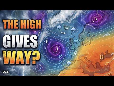
The jet stream helps steer areas of low pressure. When its path changes, fronts can take a different route and high pressure can become more influential elsewhere. The position of those features helps explain why a broad shift can bring different weather to neighbouring regions.
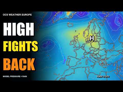
Mara Quinn's 6 November episode explores possible changes in the jet stream and pressure across Europe. Its description names GFS, GEFS and ECMWF guidance and raises rain, storms and colder spells as possible developments.
Look at the route and timing
Two forecasts can suggest a similar broad pattern while placing a low on different tracks. That difference can move rain into another region or change when it arrives. Ensembles such as GEFS provide multiple forecasts, and their spread helps put individual scenarios in context.
When you compare charts, check both the run time, when a forecast starts, and the valid time, when the chart applies. Look for how the route and timing evolve in later guidance. For a particular town or travel day, use the latest local forecast and check official warnings for that area.
Sources & further reading
Independent background for the ideas explored on this page.
- OCS Weather Europe — Official episode and November discussion scope
- Met Office — What is the jet stream?
- Met Office — Blocking patterns and the movement of low pressure
- NOAA/NCEP — Global Ensemble Forecast System
- ECMWF — Medium-range ensembles and forecast spread
- MeteoAlarm — European weather warnings